[ad_1]
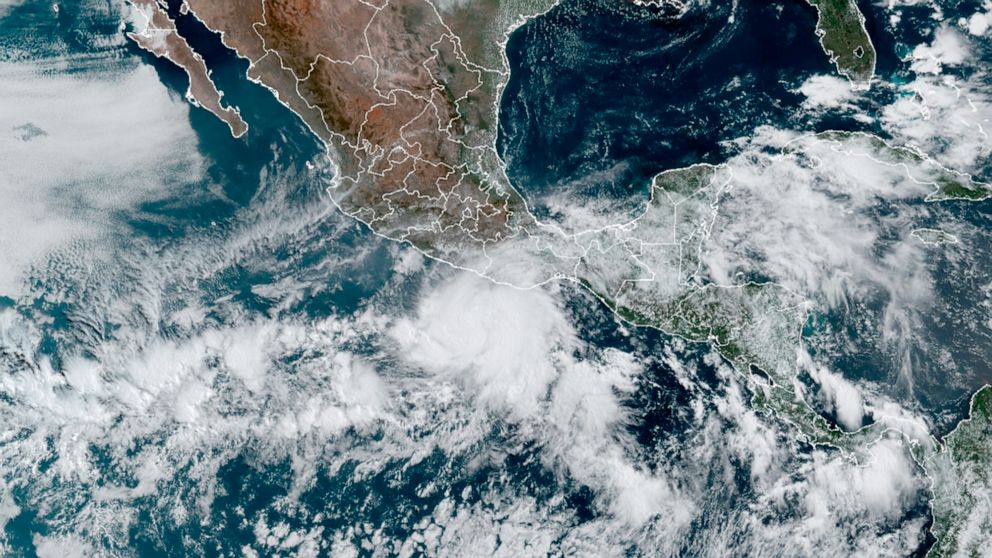
Update: Hurricane Agatha made landfall in southern Mexico.
Hurricane Agatha, this year’s first named storm in the eastern Pacific, was expected to make landfall along the coast of southern Mexico on Monday, forecasters said.
Outer bands of rain from the storm moved over southern Mexico overnight, hours before Agatha was expected to bring threatening floods and mudslides, according to the National Hurricane Center.
As of 10 a.m. Eastern time, Agatha was about 50 miles southwest of Puerto Angel, on the southern coast of Mexico, with sustained winds of 110 miles per hour, making it a Category 2 hurricane.
Conditions across the region were expected to deteriorate throughout the day, and forecasters expected the storm to make landfall in the Mexican state of Oaxaca in the afternoon or evening. Agatha will then weaken as it moves inland and Agatha was expected to dissipate over southeastern Mexico by late Tuesday, according to the center.
Oaxaca could get as much as 16 inches of rain, with isolated amounts of 20 inches, the center said on Monday.
The center issued a hurricane warning — meaning that life and property should be rapidly protected — along the Oaxacan coast, from the city of Salina Cruz to the Lagunas de Chacahua National Park.
“Storm surge is expected to produce extremely dangerous coastal flooding in areas of onshore winds near and to the east of where the center of Agatha makes landfall,” the center said. “Near the coast, the surge will be accompanied by large and destructive waves.”
Storms originating in the eastern Pacific generally do not reach the United States as hurricanes, Dennis Feltgen, a meteorologist and spokesman for the Hurricane Center, said on Saturday.
The same applies to Agatha, he said, though he added that if the storm “survives its trek across Mexico, then its remnants could emerge into the Gulf of Mexico.”
Agatha formed off the Mexican coast and was named on Saturday, not long after the official start of the eastern Pacific hurricane season, which runs from May 15 to Nov. 30.
The Atlantic hurricane season — the term used for storms that form in the Gulf of Mexico, the Caribbean Sea and the Atlantic Ocean — runs from June 1 to Nov. 30. Those regions account for the severest hurricanes that have struck the United States, Mr. Feltgen said.
This year is on track to be the first since 2014 that a hurricane has not formed in the Atlantic before the official start of the season. However, the season generally does not peak until mid-August to late October, and forecasters predict above-average Atlantic activity this year, with six to 10 hurricanes and three to six major hurricanes, the National Oceanic and Atmospheric Administration said last week.
If the prediction comes true, this year will be the seventh consecutive above-average hurricane season.
The causes for the predicted intensity of hurricanes cited by NOAA include the climate pattern known as La Niña, which affects the speed and direction of wind, and a particularly intense West African monsoon season, which produces waves that can lead to powerful and long-lasting hurricanes.
Alex Traub, Derrick Bryson Taylor and Vimal Patel contributed reporting.
[ad_2]
Source link


